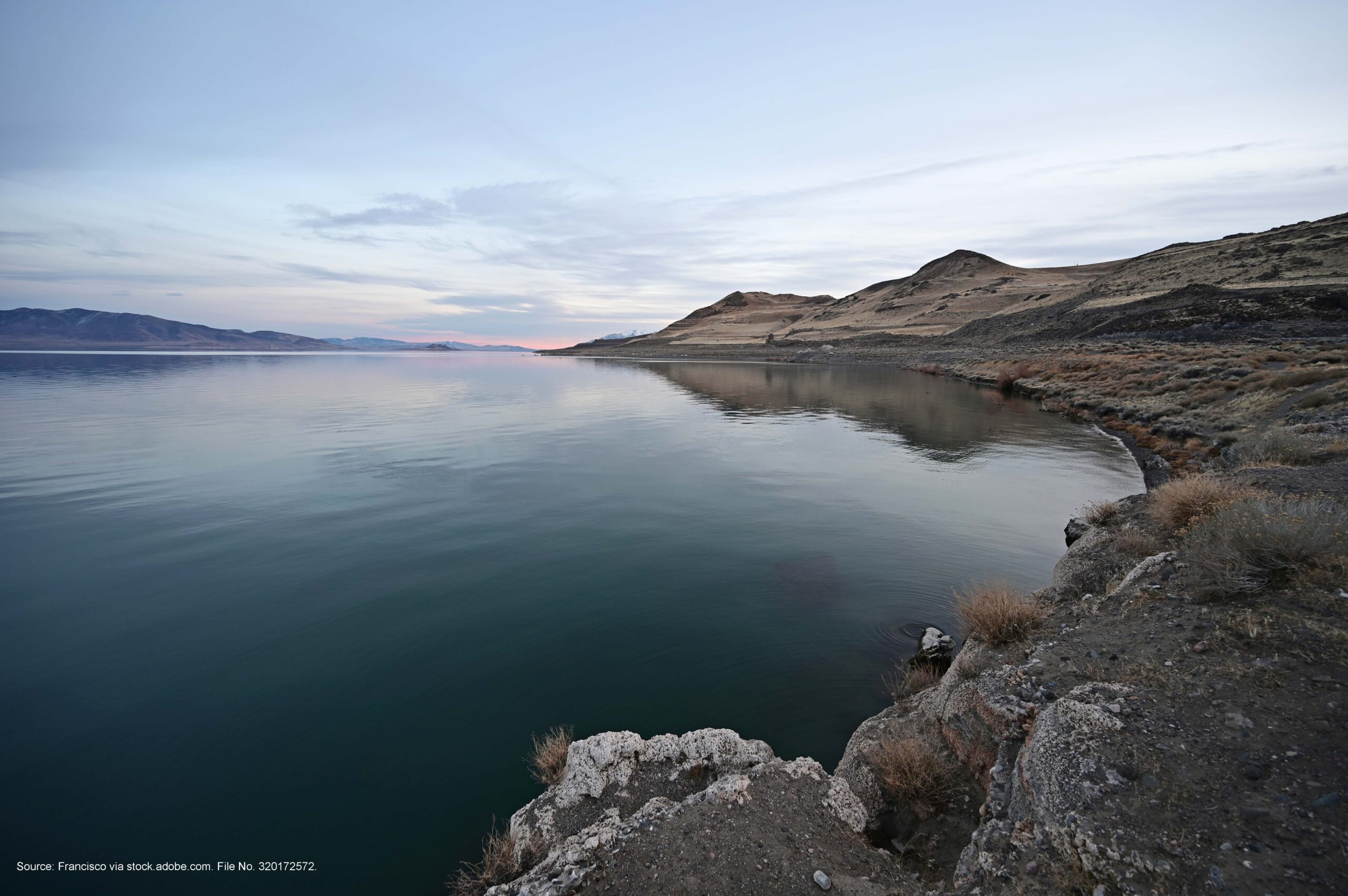
Thinking about deserts usually conjures up images of sand and wind—not water. However, in the high desert region in western Nevada, you will find Pyramid Lake. One of the largest natural lakes in the state, this body of water exists entirely within the boundaries of the Pyramid Lake Paiute Tribe’s reservation, which is about 35 miles northeast of Reno.
Pyramid Lake is the mouth of the Truckee River, which is the only outlet of Lake Tahoe. As a terminal lake, it has no outlet other than evaporation. This means anything that enters Pyramid Lake from the watershed, or the nearby air and earth can remain there indefinitely.
The Pyramid Lake Paiute Tribe has been conducting water sampling for many years, the results from which have shown nitrogen levels increasing at varying times. To learn where the nitrogen was coming from—and amid rising concern about the environmental impact of increased development in the Tahoe-Reno Industrial Center (TRIC)—the tribe reached out to Air Sciences about two years ago for help.
We were tasked with developing and implementing tools to model and measure both pollutant deposition and concentrations from nearby emission sources to support the tribe’s goal of understanding what effect new TRIC industry could have on levels of particulates (including any heavy metals), nitrogen oxide, and sulfur dioxide in the Pyramid Lake airshed, as well as the nitrogen and sulfur deposition in the area’s soil.
Building a Regional Model
Tribal members requested a tool that would allow them to model emissions and see the cumulative effect of new or expanded industrial facilities on the air, soil, and water. We started by developing an emissions inventory based on publicly available data from nearby big industry to see what was going on at a regional scale. This inventory was then used with the CALPUFF modeling platform.
The tool we built creates formatted input files, runs CALPUFF, and ultimately produces both graphics and tables of impacts for the criteria pollutants. The tool can output both deposition rates (which are instrumental for soil and water analysis) and concentrations (for comparison to the National Ambient Air Quality Standards). This dynamic tool was built to be expanded to address future needs of the Pyramid Lake Paiute Tribe. It can also be modified for any user who wants to set up an inventory and run an emissions model.
Looking Ahead
As part of the second phase of this ongoing project, Air Sciences worked with the tribe to deploy two portable particulate monitors on the reservation. Having two monitors allows for the simultaneous collection of actual data at different locations: one design area (e.g., a school or day care) and one background area. These devices provide actual concentration data, which can be compared to the theoretical modeled concentrations to better understand the inherent conservatism in the model.
The data will also help members of the Pyramid Lake Paiute Tribe make more informed public comments on the sources of pollution affecting their land.
Along those lines, the emissions model and portable particulate monitors will provide the tribe with data that can show the cumulative effect of outside pollution affecting the reservation; emissions sources outside the reservation must demonstrate individually that they won’t exceed the National Ambient Air Quality Standards, but the permitting process doesn’t inherently require a company to conduct a cumulative analysis involving multiple sources in the area.
We look forward to ongoing collaboration with the Pyramid Lake Paiute Tribe as it continues to expand the theoretical modeling aspect of the project, as well as field sampling and analysis.
Interested in learning how the tool we built can be tailored to meet your specific needs? Contact us today.
