

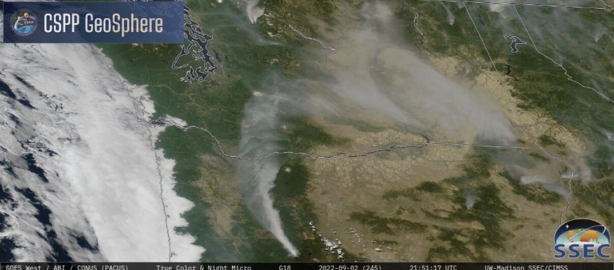
Well-established wildfire smoke models such as HRRR-Smoke and BlueSky predict smoke concentrations one to three days in advance. They present these forecasts as gridded maps of modeled PM₂.₅ concentrations, hour by hour. This focus on concentration suits state air-quality agencies concerned with maximum human-health impacts. It is less useful to someone who needs to know where the plume will be over the next few hours as it meanders — whether it will cross a particular highway this afternoon, or where to place an air quality monitor tonight to capture the point of greatest impact.
From Smoke Concentrations to Plume Location
Dr. Mark Schaaf, working from Air Sciences Inc.’s Portland, Oregon office, is developing a new short-term smoke forecasting approach. It shifts the target from gridded smoke concentrations to the plume itself: the position of the plume centerline, where concentrations are highest, and the PM₂.₅ concentrations along it, out to roughly 100 kilometers from the fire. The model that determines plume position, CALPUFF-Smoke, does not spread smoke across a fixed grid as models such as HRRR-Smoke do. It releases discrete puffs and tracks each one as the wind carries it downwind. The plume stays narrow and accurately located, so its position can serve as a primary forecast variable rather than something inferred from a contour map.
Tracking Forecast Performance
The approach also reports its own recent performance at set distances downwind of the fire. Each new plume forecast is issued with performance statistics for the preceding 24 hours. The forecast made two days earlier is compared, hour by hour, against a rerun of the model for those same hours, this time driven by wind fields built from observed, not projected, weather conditions. Performance is reported at 20, 40, 60, 80, and 100 kilometers from the fire origin. A hypothetical report might show that the predicted plume direction was off by 6° at 40 kilometers but by 26° at 100 kilometers.
Supporting Better Smoke Management Decisions
For those managing a fire or advising on air quality, this approach provides both hourly plume position forecasts and a record of how the prediction engine has been performing. The forecast itself is not changed. Today’s forecast is not adjusted to correct for yesterday’s error, because fires are short-lived, conditions shift daily, and a bias reported yesterday may reverse by evening. Because the comparison is between two model runs rather than against the observed plume, it shows how consistent the system has been, not whether the plume was actually where it was drawn. Ground monitors and satellite imagery still answer that question.
Contact us to learn more about our work and how Air Sciences’ expertise in wildfire smoke modeling and forecasting can support informed air quality, monitoring, and fire management decisions.
